ID 701283 | MPN 711
National Geographic
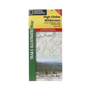
National Geographic High Uintas Trail Map Utah


Save up to $50 on your online order today!
Advertised prices may display a strikethrough or regular price. The strikethrough or regular price represents either 1) the manufacturer’s Minimum Advertised Price (MAP) OR the Manufacturer’s Suggested Retail Price (MSRP) or 2) a price at which the product was offered within the last 90 days.
701283
Overview
National Geographic High Uintas Trail Map Utah - This Trails Illustrated topographic map is the most comprehensive recreational map for Utah's High Uintas Wilderness area. Coverage includes: Wasatch-Cache National Forest; the entire High Uintas Wilderness and surrounding backcountry; Hoop, Brown, Moon, Crystal, Little Lyman and Atwood lakes; Paradise Park, Cedar View, Upper Stillwater and Whitney reservoirs; Red Knob, Squaw, Smith Fork, Anderson, and Thompson passes.
- Folded Size: 4.25"x9.25"
- Fully Open Size: 25.5"x37.75"
- Scale: 1:75,000
- Map Revised: 2006
Specifications
| Model | 711 |
|---|
Reviews
Notify Me When In Stock
You are tracking this product.
You have removed this product alert
Thank You,
An error occurred processing your request. Please try again later.
Please enter a valid email


CUSTOMER GALLERY