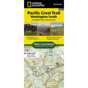
National Geographic Pacific Crest Trail Map - Washington South

$4.92

$4.92
Overview
National Geographic Pacific Crest Trail Map - The Washington South Topographic Map Guide follows the Pacific Crest Trail (PCT) as it travels through a landscape dotted with lakes, perennial snowfields, and small glaciers. In the heavily eroded, rugged mountains of central Washington, the PCT crosses steep ridges and high mountain passes. The trail skirts the base of Mount Adams and its volcanic fields covered in large lava flows and avalanche debris. As the PCT approaches the Oregon border it dramatically drops into the Columbia River Gorge and passes over the Columbia River on the Bridge of the Gods. More convenient and easier to use than folded maps, but just as compact and lightweight, National Geographic’s Topographic Map Guide booklets are printed on "Backcountry Tough" waterproof, tear-resistant paper with stainless steel staples. A full UTM grid is printed on the map to aid with GPS navigation.
Specifications
| Type | Washington South |
|---|---|
| Model | TI00001003 |


CUSTOMER GALLERY