ID 705468 | MPN 113
National Geographic
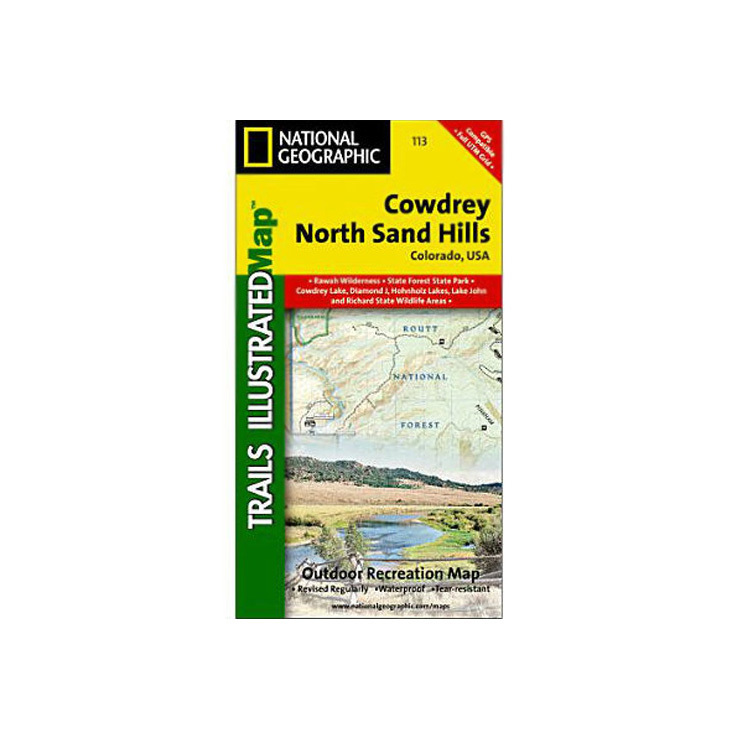
National Geographic Cowdrey North Sand Hills Trail Map Colorado


$4.92
National Geographic Cowdrey North Sand Hills Trail Map Colorado - More than just a map, National Geographic Trails Illustrated topographic maps are designed to take you into the wilderness and back. Printed on tear-resistant, waterproof material, this map can go anywhere you do.
Save up to $50 on your online order today!
Added to Your Cart
Advertised prices may display a strikethrough or regular price. The strikethrough or regular price represents either 1) the manufacturer’s Minimum Advertised Price (MAP) OR the Manufacturer’s Suggested Retail Price (MSRP) or 2) a price at which the product was offered within the last 90 days.
705468

National Geographic Cowdrey North Sand Hills Trail Map Colorado
by National Geographic
$4.92
Overview
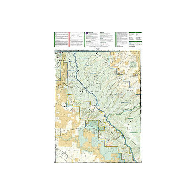
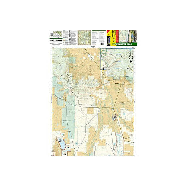
National Geographic Cowdrey North Sand Hills Trail Map Colorado - The Cowdrey/North Sand Hills Trails Illustrated map is the most comprehensive recreational map for this rugged area in northern Colorado. Coverage includes the Roosevelt and Routt national forests, the Platte River and Rawah wilderness areas, portions of the Colorado State Forest, Medicine Bow Mountains, North Sand Hills Recreation Area, and the cities of Kings Canyon and Cowdrey. Additional recreational hotspots: Cowdrey Lake, Lake John, Ute Pass and a segment of the North Platte River.
- Folded Size: 4.25"x9.25"
- Fully Open Size: 25.5"x37.75"
- Scale: 1:40,680
- Map Revised: 2006
Specifications
| Model | 113 |
|---|
Reviews
Notify Me When In Stock
You are tracking this product.
You have removed this product alert
Thank You,
An error occurred processing your request. Please try again later.
Please enter a valid email


CUSTOMER GALLERY