ID p45690
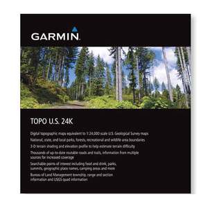
Garmin 24K Topo Maps

Original price:
$99.99

Strikethrough pricing on clearance products represents the last regular price the product was offered at before being classified as clearance (not intended to return to our product portfolio in the foreseeable future). A discounted price will remain on clearance products until the product is sold out or otherwise liquidated.
Sale price:
$36.92(63% Off)

Strikethrough Pricing on Sportsmans.com
Advertised prices may display strikethrough or regular pricing. Strikethrough pricing on sale items represents: 1) the manufacturer’s Minimum Advertised Price (MAP), 2) the Manufacturer’s Suggested Retail Price (MSRP), or 3) a price at which the product was offered within the last 90 days.Strikethrough pricing on clearance products represents the last regular price the product was offered at before being classified as clearance (not intended to return to our product portfolio in the foreseeable future). A discounted price will remain on clearance products until the product is sold out or otherwise liquidated.
Garmin 24K Topo Maps -Outdoor enthusiasts: your adventure is waiting — in vivid detail. These highly detailed maps include terrain contours, topo elevations, summits, routable roads and trails, parks, coastlines, rivers, lakes and geographical points.
Save up to $50 on your online order today!
Select Type:
Added to Your Cart
Advertised prices may display strikethrough or regular pricing. Strikethrough pricing on sale items represents: 1) the manufacturer’s Minimum Advertised Price (MAP), 2) the Manufacturer’s Suggested Retail Price (MSRP), or 3) a price at which the product was offered within the last 90 days.
Strikethrough pricing on clearance products represents the last regular price the product was offered at before being classified as clearance (not intended to return to our product portfolio in the foreseeable future). A discounted price will remain on clearance products until the product is sold out or otherwise liquidated.
Strikethrough pricing on clearance products represents the last regular price the product was offered at before being classified as clearance (not intended to return to our product portfolio in the foreseeable future). A discounted price will remain on clearance products until the product is sold out or otherwise liquidated.
p45690
Overview
Garmin 24K Topo Maps -TOPO 24K maps feature our highest level of topographic detail (1:24,000 scale), complete with terrain contours, searchable points of interest and turn-by-turn directions on roads and trails. Also displays 3-D terrain shading on compatible devices.
- Provides detailed digital topographic maps, comparable to 1:24,000 scale USGS maps
- Contains detailed hydrographic features
- Search by points of interest, including cities, summit, lakes and campsites
- Provides elevation profile on compatible devices to estimate terrain difficulty
- Contains many routable trails, rural roads, city neighborhood roads, major highways and interstates
- Displays national, state and local parks, forests, conservation areas, and wilderness areas
- Includes points of interests such as parks, campgrounds, scenic lookouts and picnic sites
- Displays Bureau of Land Management township, range and section information and USGS quad locations
- microSD™/SD™ card
Specifications
Please choose a variant above.
Reviews
Notify Me When In Stock
You are tracking this product.
You have removed this product alert
Thank You,
An error occurred processing your request. Please try again later.
Please enter a valid email


CUSTOMER GALLERY