ID 1199130 | MPN BCLLS
Fish N Map
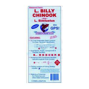
Fish N Map Billy Chinook Lake / Lake Simtustus, OR

Save up to $50 on your online order today!
Advertised prices may display a strikethrough or regular price. The strikethrough or regular price represents either 1) the manufacturer’s Minimum Advertised Price (MAP) OR the Manufacturer’s Suggested Retail Price (MSRP) or 2) a price at which the product was offered within the last 90 days.
1199130
Overview
Fish N Map Billy Chinook Lake / Lake Simtustus, OR - Lake Billy Chinook, formed in 1964 when the Round Butte Dam was constructed, is located in Oregon’s The Cove Palisades State Park. Lake Billy Chinook has a surface area of 4,000 acres.
Fish Species: Rainbow Trout, Kokanee Salmon, Brown Trout, Bull Trout (Dolly Vardens), Smallmouth Bass, Largemouth Bass
Lake Simtustus is one of three reservoirs that were created as part of Portland General Electric’s (PGE’s) Pelton Round Butte hydroelectric project. Lake Simtustus is 637 acres and is located just north of Lake Billy Chinook.
Fish Species: Rainbow Trout, Kokanee Salmon, Brown Trout, Smallmouth Bass, Bull Trout
Map Features: 20 Foot underwater depth contours, latitude and longitude grids, numerous GPS points, fishing locations & fishing strategy, underwater structures identified including submerged roadbeds, onshore information provided such as boat ramps, roads, campgrounds, and facilities (restrooms, groceries, etc.), Waterproof and tear-resistant
- Contours: 20'
- Scale: 1:16,000
- GPS Data: Yes
- Water Type: Fresh
- Region/State(s): Oregon
Specifications
| Model | BCLLS |
|---|
Reviews
Notify Me When In Stock
You are tracking this product.
You have removed this product alert
Thank You,
An error occurred processing your request. Please try again later.
Please enter a valid email


CUSTOMER GALLERY