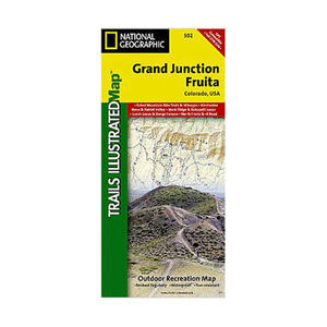
National Geographic Grand Junction Fruita Trail Map Colorado


$4.92
Overview
National Geographic Grand Junction Fruita Trail Map Colorado - Jam-packed with over 500 miles of single-track and multi-use trails, our new National Geographic Trails Illustrated map for the mountain biking mecca of Grand Junction & Fruita, Colorado is ideal for anyone hitting the trails. Like all Trails Illustrated maps, Grand Junction / Fruita blends detailed topography with carefully researched trail information. Rated mountain biking trails with mileages, recommended rides, and difficulty rating charts make this an ideal planning tool for novice and expert alike. An enhanced scale of 1:35,000 (1 = 0.55 Miles) makes it easy to read elevations and identify the numerous trails throughout the area. Coverage Highlights: Westwater Mesa & Rabbit Valley; Mack Ridge and Kokopelli Loops; Lunch Loops and Bangs Canyon; North Fruita & 18 Road; McInnis Canyons National Conservation Area; Black Ridge Wilderness; Westwater Canyon; Colorado National Monument; Colorado Riverway; Kokopelli and Tabugache Trails; The towns of Grand Junction and Fruita.
- Folded Size: 4.25"x9.25"
- Fully Open Size: 25.5"x37.75"
- Scale: 1:35,000
- Map Revised: 2009
Specifications
| Model | 502 |
|---|


CUSTOMER GALLERY