ID 1191668 | MPN Ti00000779
National Geographic
National Geographic Pisgah National Forest Map Norh Carolina


Save up to $50 on your online order today!
Advertised prices may display a strikethrough or regular price. The strikethrough or regular price represents either 1) the manufacturer’s Minimum Advertised Price (MAP) OR the Manufacturer’s Suggested Retail Price (MSRP) or 2) a price at which the product was offered within the last 90 days.
1191668

National Geographic Pisgah National Forest Map Norh Carolina
by National Geographic
$4.92
Overview
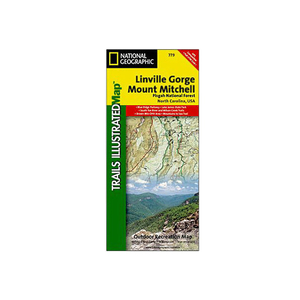
National Geographic Pisgah National Forest Map Norh Carolina - This Trails Illustrated topographic map is the most comprehensive and complete recreational map for the Linville Gorge and Mt. Mitchell area of Pisgah National Forest in North Carolina. All trails, campsites, and recreational features are included. Highlights include: Pisgah National Forest; Grandfather and Appalachian Ranger Districts; Blue Ridge Parkway; Linville Gorge Wilderness area; Mount Mitchell State Park; Grandfather Mountain Biosphere Reserve; Wilson Creek Wild and Scenic River and much more. The towns of Black Mountain, Marion, Morganton, Linville and Burnsville are also included.
- Folded Size: 4.25"x9.25"
- Fully Open Size: 25.5"x37.75"
- Scale: 1:65,000
- Map Revised: 2006
Specifications
| Model | 779 |
|---|
Reviews
Notify Me When In Stock
You are tracking this product.
You have removed this product alert
Thank You,
An error occurred processing your request. Please try again later.
Please enter a valid email


CUSTOMER GALLERY