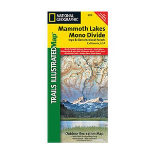
National Geographic Mammoth Lakes and Mono Divide Trail Map California


$4.92
Overview
National Geographic Mammoth Lakes and Mono Divide Trail Map California - Trails Illustrated Mammoth Lakes/Mono Divide is one of five maps for the California Sierra Nevadas that combine to form seamless coverage of the high-use National Forest areas between Sequoia/Kings Canyon National Parks and Lake Tahoe. This region contains some of the most visited backcountry in the United States, popular with hikers, mountain bikers, anglers, hunters, and winter sports enthusiasts. This map was developed in collaboration with Inyo and Sierra National Forest and has also received support from the Eastern Sierra and Three Rivers Interpretive Associations. Coverage includes Inyo and Sierra National Forests, Devils Postpile National Monument, Ansel Adams Wilderness, Dinkey Lakes Wilderness, John Muir Wilderness, The Pacific Crest Trail, The John Muir Trail, The Eastern Sierra Scenic Byway, and the northern extent of Kings Canyon National Park including Evolution Basin.
- Folded Size: 4.25"x9.25"
- Fully Open Size: 25.5"x37.75"
- Scale: 1:63,360
- Map Revised: 2008
Specifications
| Model | 809 |
|---|


CUSTOMER GALLERY