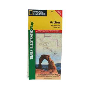
National Geographic Arches National Park Trail Map Utah


$14.95

$14.95
Overview
National Geographic Arches National Park Trail Map Utah - This map includes Arches National Park, The Highlands, Little Valley, Devils Garden, Lost Spring Canyon Wilderness area, Negro Bill Wilderness area, Scott M. Matheson Wetlands Preserve, Cache Valley, Delicate Arch, Broken Arch, Sand Dune Arch, Pine Tree Arch, Private Arch, Dark Angel, Double Arch, and more. The map also includes the Colorado River, the Windows Section, Petrified Dunes, and fascinating information about the park's geology, archaeology, history, and culture. The map has been updated to reflect road closings, new trails, and campground relocation, and includes detailed trail information, points of interest, trailheads, picnic areas, facilities, and more. Includes UTM grids for use with your GPS.
- Folded Size: 4.25"x9.25"
- Fully Open Size: 25.5"x37.75"
- Scale: 1:35,000
- Map Revised: 2005
Specifications
Model | 211 |
Reviews
At Sportsman's Warehouse, we've got you covered.
HERE'S HOW
- If any warranty issue comes up, we'll cover the cost of packing & shipping to the manufacturer from any Sportsman's Warehouse location.
- Cleaning, scope mounting, and bore sighting.
- Discounts on gun customization from The Gunsmith at Sportsman's Warehouse.
- FSP can be applied to any gun purchased at Sportsman's Warehouse or online at Sportsmans.com.
BENEFITS
- Provides two professional field strip & cleanings per year.
- Unlimited professional scope mounting & bore sighting during coverage.
- Provides warranty concurrent with manufacturer's warranty for the firearm, including all parts & labor for warranty repairs during coverage.
- We'll keep you informed of any recall notifications.
- Free packing/shipping to manufacturer &/or manufacturer's authorized service center for warranty repairs ($20-$40 value).
- 15% discount on all customizing & elective gunsmith services and FREE shipping to The Gunsmith at Sportsman's Warehouse.
CUSTOMER GALLERY