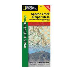
National Geographic Apache Creek and Juniper Mesa Wilderness Areas Trail Map Arizona


$10.97
Overview
National Geographic Apache Creek and Juniper Mesa Wilderness Areas Trail Map Arizona - One of five new Trails Illustrated maps for Coconino and Prescott National Forests in Arizona offering the most detailed and up-to-date map for the area. Our maps are carefully researched and developed in co-operation with local land managers and agencies. Each map contains easy to read trails, numbered forest service roads, campsites, access points, scenic points-of-interests, and important facilities. Coverage Highlights: Apache Creek, Granite Mountain, Juniper Mesa and Woodchute Wilderness Areas, Verde River Wild & Scenic River, Scenic Byways and Routes, Hiking Trails, Mountain Biking, Campgrounds, Horseback Riding. Wilderness Coverage: Apache Creek, Granite Mountain, Juniper Mesa, Woodchute. Other Attractions: Chino Valley, Little Chino Valley, Lonesome Valley, Santa Maria Mountains.
- Folded Size: 4.25"x9.25"
- Fully Open Size: 25.5"x37.75"
- Scale: 1:70,000
- Map Revised: 2010
Specifications
| Model | 857 |
|---|


CUSTOMER GALLERY