ID 419994 | MPN STANDLEY
Fish n Map
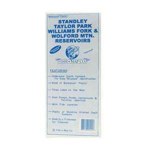
Fish N Map Standley/Taylor/Williams Fork; CO

$10.95
Fish N Map Standley/Taylor/Williams Fork; CO - Convenient Fishing Maps that Last! Fish-n-Map Company's Underwater Topography Maps are printed on a water-proof, tear-resistant plastic material for durability in the field and are folded to 9"x4".
Save up to $50 on your online order today!
Added to Your Cart
Advertised prices may display a strikethrough or regular price. The strikethrough or regular price represents either 1) the manufacturer’s Minimum Advertised Price (MAP) OR the Manufacturer’s Suggested Retail Price (MSRP) or 2) a price at which the product was offered within the last 90 days.
419994
Overview
Fish N Map Standley/Taylor/Williams Fork; CO - Convenient Fishing Maps that Last! Fish-n-Map Company's Underwater Topography Maps are printed on a water-proof, tear-resistant plastic material for durability in the field and are folded to 9"x4".
- Printed on water proof plastic material
- Durable and tear resistant
- Extensive and detailed legends
- Includes known fish species
Specifications
| Model | STANDLEY |
|---|
Reviews
Notify Me When In Stock
You are tracking this product.
You have removed this product alert
Thank You,
An error occurred processing your request. Please try again later.
Please enter a valid email


CUSTOMER GALLERY